


Regional Geological Survey Simulation Software
Keyword:
Category:
DESCRIPTION
This software is a practical teaching activity aimed at establishing large-scale geological mapping practices, with the main content of observing, recording, and cataloging geological information exposed in the internship area. It flexibly applies the geological knowledge learned to explain various geological phenomena. Students are required to observe various geological phenomena carefully, think diligently, carefully record, compile, and draw maps, so as to integrate theory with practice and reflect geological phenomena realistically.
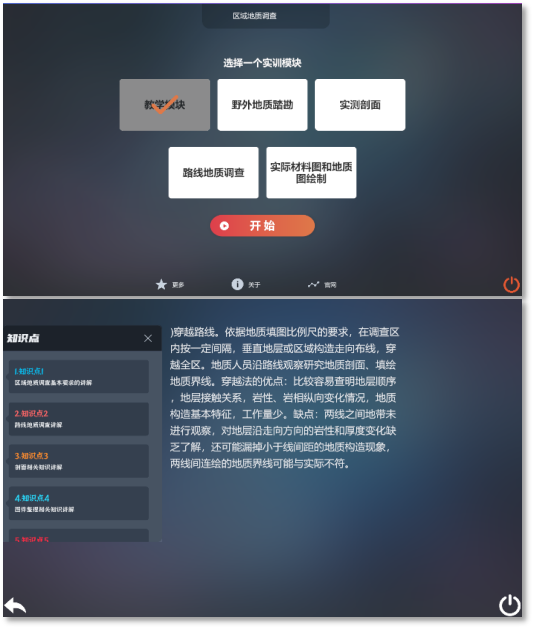
Interface display
Related Products

Product Quotation
Official Account

Chongqing Baian Technology Co., Ltd
Company Address: 22-5, No. 11, Panxi Seventh Branch Road, Shimahe Street, Jiangbei District, Chongqing
Production address: 3rd floor, Building 2, Gangcheng Science and Technology Innovation Park, Haier Road, Jiangbei District, Chongqing
Tel:+86-4000672018 +86-023-67630927
E_mail:cqbakj@yeah.net